Aupaluk
Aupaluk (Inuktitut: ᐊᐅᐸᓗᒃ) (2021 Population: 233) is a northern village in Nunavik, in the Nord-du-Québec region of Quebec. It is the least-populous Inuit community in Nunavik.
Aupaluk
ᐊᐅᐸᓗᒃ | |
|---|---|
 Aupaluk | |
| Coordinates: 59°18′N 69°36′W[1] | |
| Country | |
| Province | |
| Region | Nord-du-Québec |
| TE | Kativik |
| Constituted | February 2, 1980 |
| Government | |
| • Mayor | Johnny Akpahatak |
| • Federal riding | Abitibi—Baie-James—Nunavik—Eeyou |
| • Prov. riding | Ungava |
| Area | |
| • Total | 32.60 km2 (12.59 sq mi) |
| • Land | 28.68 km2 (11.07 sq mi) |
| Population (2021)[3] | |
| • Total | 233 |
| • Density | 8.1/km2 (21/sq mi) |
| • Change (2016–21) | |
| • Dwellings | 77 |
| Time zone | UTC−5 (EST) |
| • Summer (DST) | UTC−4 (EDT) |
| Postal code(s) | |
| Area code(s) | 819 |
| Website | www |
The name means "where the earth is red", referring to its iron-bearing (ferruginous) soil.
Its population has been increasing: it was 195 in 2011, up from 159 in 2001.
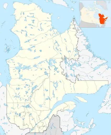
Aupaluk is located on the western shore of Ungava Bay, north of Tasiujaq and 80 km south of Kangirsuk. It is about 150 km northwest of Kuujjuaq.
It is served by nearby Aupaluk Airport.
Since 1996, the Kativik Regional Police Force (KRPF) provides police services for the village.[4]
Education
The Kativik School Board operates the Tarsakallak School.[5] Its building was destroyed in a fire on March 15, 2014. The school at the time served a total of 54 students.
References
- Reference number 98661 of the Commission de toponymie du Québec (in French)
- Geographic code 99105 in the official Répertoire des municipalités (in French)
- "Data table, Census Profile, 2021 Census of Population - Aupaluk, Village nordique (VN) [Census subdivision], Quebec". 9 February 2022.
- KRPF. "General Information". Home. Retrieved 2017-07-03.
- "Our Schools." Kativik School Board. Retrieved on September 23, 2017.
External links
- http://www.nvaupaluk.ca/en/index_eng.htm
- https://web.archive.org/web/20120228015740/http://www.nunavik-tourism.com/Aupaluk.aspx