Auburn, New Jersey
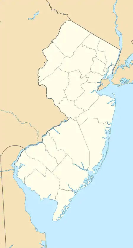
Auburn is a census-designated place (CDP) in Salem County, New Jersey, United States. It includes the unincorporated community of Auburn in Oldmans Township and extends southeast to include rural and semi-suburban land in Pilesgrove Township.
Auburn, New Jersey | |
|---|---|
 Auburn  Auburn | |
| Coordinates: 39°42′39″N 75°22′3″W | |
| Country | United States |
| State | New Jersey |
| County | Salem |
| Townships | Oldmans Pilesgrove |
| Area | |
| • Total | 4.30 sq mi (11.13 km2) |
| • Land | 4.25 sq mi (11.01 km2) |
| • Water | 0.05 sq mi (0.12 km2) |
| Elevation | 77 ft (23 m) |
| Time zone | UTC-5 (Eastern (EST)) |
| • Summer (DST) | UTC-4 (EDT) |
| ZIP Codes | |
| Area code(s) | 856 |
| FIPS code | 34-02170 |
| GNIS feature ID | 2806229[2] |
It is in northern Salem County, bordered to the northeast by Oldmans Creek, which separates the community from Woolwich Township in Gloucester County. The New Jersey Turnpike passes through the northern part of the CDP, just south of Auburn village. The nearest turnpike access is 7 miles (11 km) to the southwest at the southern terminus of the highway near the Delaware Memorial Bridge, or 6 miles (10 km) to the northeast at Exit 2 near Swedesboro.
Auburn was first listed as a CDP prior to the 2020 census.[2]
References
- "2020 U.S. Gazetteer Files – New Jersey". United States Census Bureau. Retrieved June 22, 2021.
- "Auburn Census Designated Place". Geographic Names Information System. United States Geological Survey.
| Wikimedia Commons has media related to Auburn, New Jersey. |
Municipalities and communities of Salem County, New Jersey, United States | ||
|---|---|---|
| City | 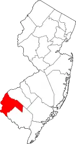 Map of New Jersey highlighting Salem County | |
| Boroughs | ||
| Townships | ||
| CDPs | ||
| Other unincorporated communities | ||
| ||