Astypalaia Island National Airport
Astypalaia Island National Airport (IATA: JTY, ICAO: LGPL), also known as "Panaghia" Airport, is an airport on Astypalaia Island, Dodecanese, Greece. The facility is located nearby the village Analipsis, and approximately 12 km northeast of the city of Astypalaia.
Astypalaia Island National Airport Κρατικός Αερολιμένας Αστυπάλαιας | |||||||||||
|---|---|---|---|---|---|---|---|---|---|---|---|
| Summary | |||||||||||
| Airport type | Public | ||||||||||
| Owner | Greek government | ||||||||||
| Operator | HCAA | ||||||||||
| Serves | Astypalaia | ||||||||||
| Location | Analipsis, Astypalaia island | ||||||||||
| Elevation AMSL | 165 ft / 50 m | ||||||||||
| Coordinates | 36°34′47.59″N 26°22′32.96″E | ||||||||||
| Map | |||||||||||
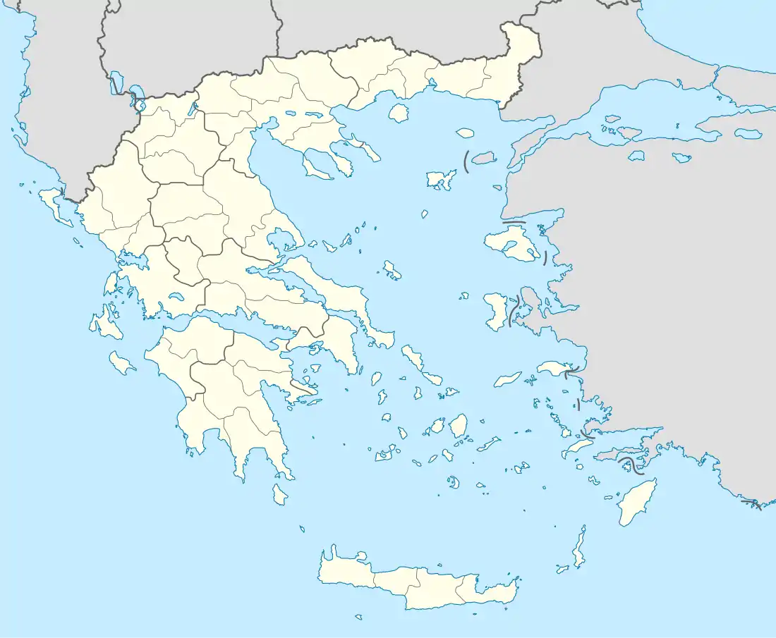 JTY Location of airport in Greece | |||||||||||
| Runways | |||||||||||
| |||||||||||
| Statistics (2018) | |||||||||||
| |||||||||||
Statistics
Annual passenger traffic at JTY airport.
See source Wikidata query.
History of the annual throughput of passengers:[2][3]
| Year | Flights | Passengers | Passengers change |
|---|---|---|---|
| 2001 | 432 | 9,316 | |
| 2002 | 528 | 10,431 | |
| 2003 | 665 | 11,331 | |
| 2004 | 694 | 12,580 | |
| 2005 | 668 | 13,302 | |
| 2006 | 1,072 | 15,923 | |
| 2007 | 976 | 14,806 | |
| 2008 | 700 | 15,137 | |
| 2009 | 692 | 14,704 | |
| 2010 | 740 | 13,609 | |
| 2011 | 743 | 13,349 | |
| 2012 | 810 | 12,561 | |
| 2013 | 802 | 11,940 | |
| 2014 | 800 | 13,771 | |
| 2015 | 786 | 14,095 | |
| 2016 | 760 | 12,014 | |
| 2017 | 689 | 12,489 | |
| 2018 | 617 | 14,029 |
See also
References
- Airfield data Archived August 5, 2011, at the Wayback Machine
- "Statistical Data (Excel file)". Hellenic Civil Aviation Authority. www.hcaa.gr. Archived from the original on 2014-03-25. Retrieved 2012-04-13.
- "Archived copy". Archived from the original on 2012-04-25. Retrieved 2011-11-13.
{{cite web}}: CS1 maint: archived copy as title (link)
External links
This article is issued from Wikipedia. The text is licensed under Creative Commons - Attribution - Sharealike. Additional terms may apply for the media files.