Assel, Gelderland
Assel is a hamlet in the municipality of Apeldoorn in the Netherlands, located close to the village of Hoog Soeren.
Assel | |
|---|---|
 Mariahoeve | |
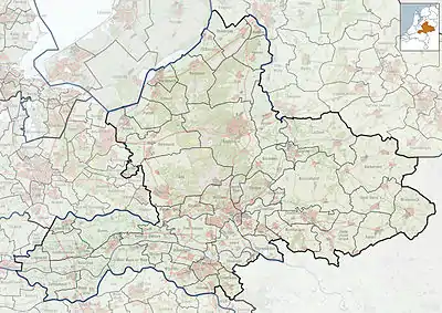 Assel Location in the province of Gelderland 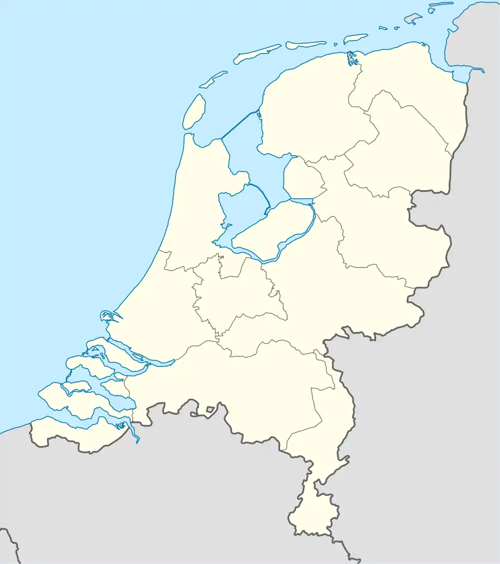 Assel Assel (Netherlands) | |
| Coordinates: 52°12′1″N 5°50′11″E | |
| Country | Netherlands |
| Province | Gelderland |
| Municipality | Apeldoorn |
| Elevation | 92 m (302 ft) |
| Time zone | UTC+1 (CET) |
| • Summer (DST) | UTC+2 (CEST) |
| Postal code | 7346 |
| Dialing code | 055 |
It was first mentioned in 814 or 815 as Hasle. The etymology is unclear.[2] It is not a statistical entity,[3] and the postal authorities have placed it under Hoog Soeren.[4] It consists of about 10 houses.[5]
Assel is located roughly 12 kilometres west of Apeldoorn. Assel is a hamlet comprising twelve houses, a burial site, a chapel (the chapel of the Holy Spirit), a camping site and a restaurant. In the past Assel was known for iron mining.
Assel used to have its own train station. This station was built because prince Hendrik had his private hunting area in Assel, known as the Kroondomein (Crown land).
Nowadays Assel does not have access to public transport, although the railway Amersfoort - Deventer runs through the hamlet.
Gallery
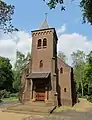 Heilige Geest Kapel
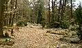 Naturecemetery
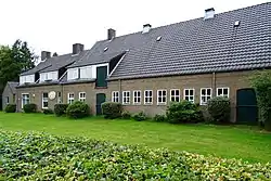
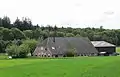 Farmstead Haslo
References
- "Postcodetool for 7346AA". Actueel Hoogtebestand Nederland (in Dutch). Het Waterschapshuis. Retrieved 19 March 2022.
- "Assel - (geografische naam)". Etymologiebank (in Dutch). Retrieved 19 March 2022.
- "Kerncijfers wijken en buurten 2021". Central Bureau of Statistics. Retrieved 19 March 2022.
Not listed
- "Postcode 7346 in Hoog Soeren". Postcode bij adres (in Dutch). Retrieved 19 March 2022.
- "Assel". Plaatsengids (in Dutch). Retrieved 19 March 2022.
| Wikimedia Commons has media related to Assel (Apeldoorn). |