Asgarby, East Lindsey
Asgarby is a hamlet in the East Lindsey district of Lincolnshire, England.[1][2] It lies just south from the B1195, a road that runs past the battlefield at Winceby. Asgarby is on the opposite side of the road to the battlefield.
| Asgarby | |
|---|---|
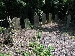 The site of the former Church of St Swithin, Asgarby Gravestones dedicated to members of the Hall family. | |
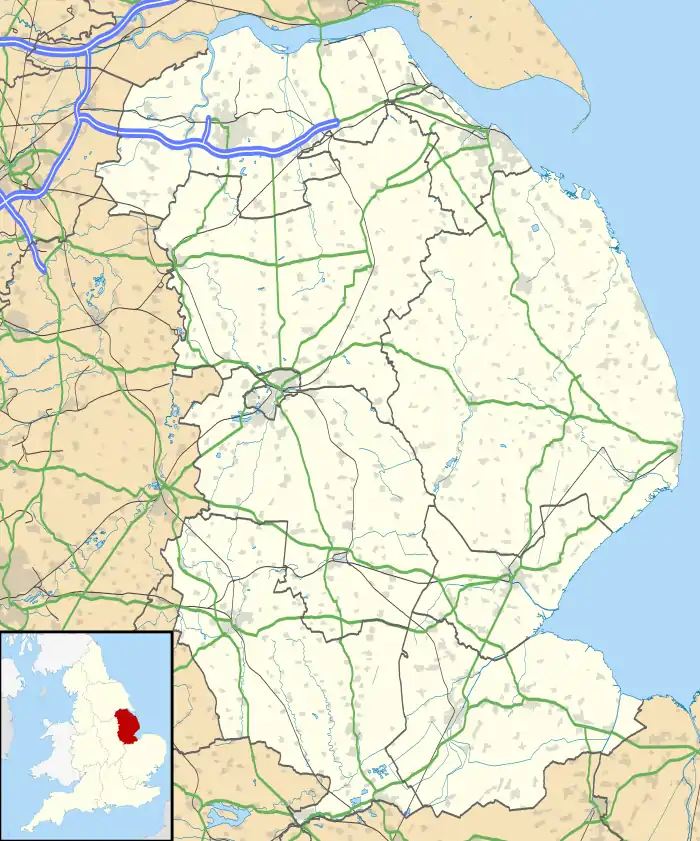 Asgarby Location within Lincolnshire | |
| OS grid reference | TF3366 |
| • London | 115 mi (185 km) S |
| District | |
| Shire county | |
| Region | |
| Country | England |
| Sovereign state | United Kingdom |
| Post town | Spilsby |
| Postcode district | PE23 |
| Police | Lincolnshire |
| Fire | Lincolnshire |
| Ambulance | East Midlands |
Asgarby was listed in the Domesday Book of 1086.[3]
References
- Ordnance Survey: Landranger map sheet 122 Skegness & Horncastle (Map). Ordnance Survey. 2013. ISBN 9780319229392.
- "Ordnance Survey: 1:50,000 Scale Gazetteer" (csv (download)). www.ordnancesurvey.co.uk. Ordnance Survey. 1 January 2016. Retrieved 30 January 2016.
- Professor J.J.N.Palmer. "Open Doomsday: Asgarby". www.opendomesday.org. Anna Powell-Smith. Retrieved 31 January 2016.
External links
 Media related to Asgarby, East Lindsey at Wikimedia Commons
- Asgarby in the Domesday Book
England Portal | |
| Unitary authorities | |
| Boroughs or districts | |
| Major settlements |
|
| Topics | |
This article is issued from Wikipedia. The text is licensed under Creative Commons - Attribution - Sharealike. Additional terms may apply for the media files.