1998 North Maluku earthquake
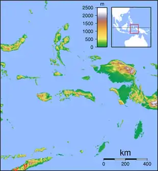
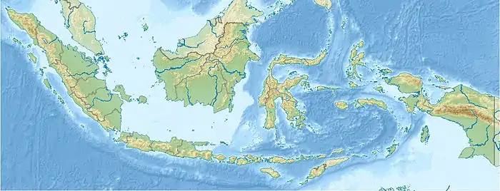
On 29 November, at 14:10 UTC, a magnitude 7.7 Mw earthquake struck off the southern coast of Taliabu Island Regency in North Maluku, Indonesia. A total of 41 people died and 153 were injured on the islands of Taliabu and Mangole. Many casualties and property damages were associated with landslides. More than 1,000 buildings were damaged or collapsed. The earthquake had a maximum Modified Mercalli intensity of IX (Violent).[3] However, the maximum intensity by damage was only VII (Very strong).[2] Intensity VI (Strong) was felt on nearby Sulawesi, were in Manado, seven people were killed, 18 were injured and there was additional damage.[4] Most of the fatalities were from Mangole Island, where timber factories, homes and mosques were destroyed or swept to sea.[2] Landslides also reportedly destroyed a dock.
  | |
| UTC time | 1998-11-29 14:10:31 |
|---|---|
| ISC event | 1326454 |
| USGS-ANSS | ComCat |
| Local date | 29 November 1998 |
| Local time | 22:41 WITA |
| Magnitude | 7.7 Mw[1] |
| Depth | 16.5 km (10 mi)[1] |
| Epicenter | 1.89°S 124.86°E |
| Fault | Sorong Fault |
| Type | Strike-slip |
| Areas affected | Indonesia |
| Total damage | $200 million[2] |
| Max. intensity | IX (Violent) |
| Landslides | Yes |
| Aftershocks | Multiple |
| Casualties | 41 dead, 171 injured |
According to the Meteorology, Climatology, and Geophysical Agency (BMKG), the earthquake occurred due to shallow strike-slip faulting on the Sorong Fault.[2] The U.S. Geological Survey (USGS) stated that it ruptured along a NNE–SSW striking fault. A finite fault modeled by the USGS indicated that the fault crosses through the middle of Taliabu Island. A maximum slip of 8.7 meters occurred along areas of the fault where it crosses beneath the island.[5]
Many inhabitants along the coast feared the arrival of a tsunami and evacuated to higher grounds.[6] A tsunami was not confirmed by the BMKG, adding that because the earthquake was of a strike-slip nature, a tsunami was not expected.[2] Inhabitants on the island reported a 2.75-meter-high wave on the coast.[7]
References
- International Seismological Centre. On-line Bulletin. Thatcham, United Kingdom. [Event 1326454].
- National Geophysical Data Center / World Data Service (NGDC/WDS): NCEI/WDS Global Significant Earthquake Database. NOAA National Centers for Environmental Information. doi:10.7289/V5TD9V7K
- Supartoyo; Surono; Eka Tofani Putranto (2014). M. Hendrasto (ed.). "Katalog gempabumi merusak di indonesia tahun 1612 – 2014" (in Indonesian). Volcanological Survey of Indonesia. Retrieved 8 April 2022.
- "Katalog Gempabumi Signifikan dan Dirasakan" [Catalog of Significant and Felt Earthquakes]. bmkg.go.id (in Indonesian). Meteorology, Climatology, and Geophysical Agency. Retrieved 14 March 2022.
- ANSS. "M 7.7 - 264 km ESE of Luwuk, Indonesia". Comprehensive Catalog. U.S. Geological Survey.
- "World: Asia-Pacific Quake rocks Indonesian islands". BBC. 30 November 1998. Retrieved 8 April 2022.
- Lander, James F.; Whiteside, Lowell S.; Lockridge, Patricia A. (2003). "Two decades of global tsunamis 1982-2002" (PDF). Science of Tsunami Hazards. The Tsunami Society. 21 (1): 52. ISSN 8755-6839.
External links
- The International Seismological Centre has a bibliography and/or authoritative data for this event.
- ReliefWeb's main page for this event.