Český Jiřetín
Český Jiřetín (German: Georgendorf) is a municipality and village in Most District in the Ústí nad Labem Region of the Czech Republic. It has about 100 inhabitants.
Český Jiřetín | |
|---|---|
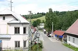 Border crossing to Germany | |
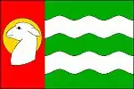 Flag 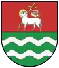 Coat of arms | |
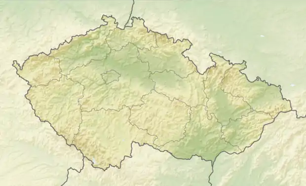 Český Jiřetín Location in the Czech Republic | |
| Coordinates: 50°42′27″N 13°32′51″E | |
| Country | |
| Region | Ústí nad Labem |
| District | Most |
| First mentioned | 1787 |
| Area | |
| • Total | 33.63 km2 (12.98 sq mi) |
| Elevation | 725 m (2,379 ft) |
| Population (2021-01-01)[1] | |
| • Total | 103 |
| • Density | 3.1/km2 (7.9/sq mi) |
| Time zone | UTC+1 (CET) |
| • Summer (DST) | UTC+2 (CEST) |
| Postal code | 436 01 |
| Website | www |
Administrative parts
The hamlet of Fláje is an administrative part of Český Jiřetín.
Geography
Český Jiřetín lies approximately 22 kilometres (14 mi) north of Most, 35 km (22 mi) west of Ústí nad Labem, and 91 km (57 mi) north-west of Prague.
Český Jiřetín is situated in the Ore Mountains. The highest peak is V Oboře with 889 metres (2,917 ft) above sea level.
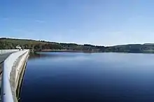
In the municipal territory is Fláje Reservoir, built in 1963 as a water source and flood protection. It has an area of 149 ha. The dam is a concrete, pillar type (hollow inside), the only one of its kind in the country. It is protected as a technical monument.[2]
The village forms a continuous built-up area with the village of Deutchgeorgenthal in Neuhausen municipality on the German side of the border.
Sport
Český Jiřetín is known for its ski resort.[3]
Notable people
- Walter Gaudnek (born 1931), Bohemian-German modern artist
References
- "Population of Municipalities – 1 January 2021". Czech Statistical Office. 2021-04-30.
- "Přehrada Fláje u Českého Jiřetína" (in Czech). Kudy z nudy. Retrieved 2021-07-09.
- "Úvod" (in Czech). SkiAreál Český Jiřetín. Retrieved 2021-07-09.
| Wikimedia Commons has media related to Český Jiřetín. |